
Huddersfield Broad Canal - it lies to the West of the Wakefield Road (A629) in Huddesrfield
The Huddersfield Narrow starts with lock 1E - the locks on the Eastern side of the Pennines have an "E" suffix
Photo 0011 was taken on 2018-07-28 at 10:18:43
According to the track by my GPS device, the photo was taken near to 0.00000,0.00000 which is T\227724
link to hi-res version of the photo
link to photo in flickr

Photo 0013 was taken on 2018-07-28 at 10:20:09
According to the track by my GPS device, the photo was taken near to 0.00000,0.00000 which is T\227724
link to hi-res version of the photo
link to photo in flickr

there are some wooden supports - these are on the side of the canal as the canal bends around to the right
Photo 0014 was taken on 2018-07-28 at 10:24:41
According to the track by my GPS device, the photo was taken near to 0.00000,0.00000 which is T\227724
link to hi-res version of the photo
link to photo in flickr

Photo 0015 was taken on 2018-07-28 at 10:25:43
According to the track by my GPS device, the photo was taken near to 0.00000,0.00000 which is T\227724
link to hi-res version of the photo
link to photo in flickr

I rejoin the canal by walking along Queen Street South, Milford Street and Chapel Hill (A616)
Photo 0016 was taken on 2018-07-28 at 10:27:00
According to the track by my GPS device, the photo was taken near to 0.00000,0.00000 which is T\227724
link to hi-res version of the photo
link to photo in flickr

Photo 0017 was taken on 2018-07-28 at 10:33:28
According to the track by my GPS device, the photo was taken near to 0.00000,0.00000 which is T\227724
link to hi-res version of the photo
link to photo in flickr

When the canal was first built lock 3E was at this point but when the canal was restored
there was a factory here and so a tunnel (with no lock!) was built under the site of the factory
Photo 0018 was taken on 2018-07-28 at 10:38:04
According to the track by my GPS device, the photo was taken near to 0.00000,0.00000 which is T\227724
link to hi-res version of the photo
link to photo in flickr

So the course of this bit of the canal was several feet lower in altitude
Photo 0019 was taken on 2018-07-28 at 10:40:22
According to the track by my GPS device, the photo was taken near to 0.00000,0.00000 which is T\227724
link to hi-res version of the photo
link to photo in flickr

Photo 0020 was taken on 2018-07-28 at 10:43:28
According to the track by my GPS device, the photo was taken near to 0.00000,0.00000 which is T\227724
link to hi-res version of the photo
link to photo in flickr

Photo 0021 was taken on 2018-07-28 at 10:46:43
According to the track by my GPS device, the photo was taken near to 0.00000,0.00000 which is T\227724
link to hi-res version of the photo
link to photo in flickr

Photo 0022 was taken on 2018-07-28 at 10:47:11
According to the track by my GPS device, the photo was taken near to 0.00000,0.00000 which is T\227724
link to hi-res version of the photo
link to photo in flickr

Photo 0025 was taken on 2018-07-28 at 10:49:17
According to the track by my GPS device, the photo was taken near to 0.00000,0.00000 which is T\227724
link to hi-res version of the photo
link to photo in flickr

Photo 0026 was taken on 2018-07-28 at 10:49:50
According to the track by my GPS device, the photo was taken near to 0.00000,0.00000 which is T\227724
link to hi-res version of the photo
link to photo in flickr

Photo 0027 was taken on 2018-07-28 at 10:49:56
According to the track by my GPS device, the photo was taken near to 0.00000,0.00000 which is T\227724
link to hi-res version of the photo
link to photo in flickr

Photo 0028 was taken on 2018-07-28 at 10:50:56
According to the track by my GPS device, the photo was taken near to 0.00000,0.00000 which is T\227724
link to hi-res version of the photo
link to photo in flickr

Photo 0029 was taken on 2018-07-28 at 10:58:34
According to the track by my GPS device, the photo was taken near to 0.00000,0.00000 which is T\227724
link to hi-res version of the photo
link to photo in flickr

Photo 0032 was taken on 2018-07-28 at 11:24:37
According to the track by my GPS device, the photo was taken near to 0.00000,0.00000 which is T\227724
link to hi-res version of the photo
link to photo in flickr

Photo 0033 was taken on 2018-07-28 at 11:24:59
According to the track by my GPS device, the photo was taken near to 0.00000,0.00000 which is T\227724
link to hi-res version of the photo
link to photo in flickr

Photo 0034 was taken on 2018-07-28 at 11:28:56
According to the track by my GPS device, the photo was taken near to 0.00000,0.00000 which is T\227724
link to hi-res version of the photo
link to photo in flickr

Photo 0035 was taken on 2018-07-28 at 11:29:31
According to the track by my GPS device, the photo was taken near to 0.00000,0.00000 which is T\227724
link to hi-res version of the photo
link to photo in flickr

Photo 0036 was taken on 2018-07-28 at 11:30:34
According to the track by my GPS device, the photo was taken near to 0.00000,0.00000 which is T\227724
link to hi-res version of the photo
link to photo in flickr

Photo 0038 was taken on 2018-07-28 at 11:33:15
According to the track by my GPS device, the photo was taken near to 0.00000,0.00000 which is T\227724
link to hi-res version of the photo
link to photo in flickr

Photo 0039 was taken on 2018-07-28 at 11:35:24
According to the track by my GPS device, the photo was taken near to 0.00000,0.00000 which is T\227724
link to hi-res version of the photo
link to photo in flickr

According to the track by my GPS device, the photo was taken near to 0.00000,0.00000 which is T\227724
link to hi-res version of the photo
link to photo in flickr

According to the track by my GPS device, the photo was taken near to 0.00000,0.00000 which is T\227724
link to hi-res version of the photo
link to photo in flickr

Photo 0042 was taken on 2018-07-28 at 11:37:28
According to the track by my GPS device, the photo was taken near to 0.00000,0.00000 which is T\227724
link to hi-res version of the photo
link to photo in flickr

and they haven't yet come across a winding hole to turn the boat
Photo 0043 was taken on 2018-07-28 at 11:39:17
According to the track by my GPS device, the photo was taken near to 0.00000,0.00000 which is T\227724
link to hi-res version of the photo
link to photo in flickr

According to the track by my GPS device, the photo was taken near to 0.00000,0.00000 which is T\227724
link to hi-res version of the photo
link to photo in flickr

Photo 0045 was taken on 2018-07-28 at 11:44:06
According to the track by my GPS device, the photo was taken near to 0.00000,0.00000 which is T\227724
link to hi-res version of the photo
link to photo in flickr

Photo 0047 was taken on 2018-07-28 at 11:48:44
According to the track by my GPS device, the photo was taken near to 0.00000,0.00000 which is T\227724
link to hi-res version of the photo
link to photo in flickr

Photo 0048 was taken on 2018-07-28 at 11:51:01
According to the track by my GPS device, the photo was taken near to 0.00000,0.00000 which is T\227724
link to hi-res version of the photo
link to photo in flickr

Photo 0049 was taken on 2018-07-28 at 11:51:43
According to the track by my GPS device, the photo was taken near to 0.00000,0.00000 which is T\227724
link to hi-res version of the photo
link to photo in flickr

Photo 0050 was taken on 2018-07-28 at 11:54:08
According to the track by my GPS device, the photo was taken near to 0.00000,0.00000 which is T\227724
link to hi-res version of the photo
link to photo in flickr

Photo 0051 was taken on 2018-07-28 at 11:55:51
According to the track by my GPS device, the photo was taken near to 0.00000,0.00000 which is T\227724
link to hi-res version of the photo
link to photo in flickr

Photo 0052 was taken on 2018-07-28 at 12:04:04
According to the track by my GPS device, the photo was taken near to 0.00000,0.00000 which is T\227724
link to hi-res version of the photo
link to photo in flickr

Photo 0053 was taken on 2018-07-28 at 12:18:15
According to the track by my GPS device, the photo was taken near to 0.00000,0.00000 which is T\227724
link to hi-res version of the photo
link to photo in flickr

Photo 0054 was taken on 2018-07-28 at 12:24:20
According to the track by my GPS device, the photo was taken near to 0.00000,0.00000 which is T\227724
link to hi-res version of the photo
link to photo in flickr

I think "Linthwaite" is pronounced "Linfit"
Photo 0055 was taken on 2018-07-28 at 12:25:11
According to the track by my GPS device, the photo was taken near to 0.00000,0.00000 which is T\227724
link to hi-res version of the photo
link to photo in flickr

Photo 0056 was taken on 2018-07-28 at 12:25:59
According to the track by my GPS device, the photo was taken near to 0.00000,0.00000 which is T\227724
link to hi-res version of the photo
link to photo in flickr

Photo 0057 was taken on 2018-07-28 at 12:27:50
According to the track by my GPS device, the photo was taken near to 0.00000,0.00000 which is T\227724
link to hi-res version of the photo
link to photo in flickr

Photo 0058 was taken on 2018-07-28 at 12:28:06
According to the track by my GPS device, the photo was taken near to 0.00000,0.00000 which is T\227724
link to hi-res version of the photo
link to photo in flickr

Photo 0059 was taken on 2018-07-28 at 12:28:08
According to the track by my GPS device, the photo was taken near to 0.00000,0.00000 which is T\227724
link to hi-res version of the photo
link to photo in flickr

Photo 0060 was taken on 2018-07-28 at 12:29:08
According to the track by my GPS device, the photo was taken near to 0.00000,0.00000 which is T\227724
link to hi-res version of the photo
link to photo in flickr

Photo 0061 was taken on 2018-07-28 at 12:29:49
According to the track by my GPS device, the photo was taken near to 0.00000,0.00000 which is T\227724
link to hi-res version of the photo
link to photo in flickr

Photo 0062 was taken on 2018-07-28 at 12:33:09
According to the track by my GPS device, the photo was taken near to 0.00000,0.00000 which is T\227724
link to hi-res version of the photo
link to photo in flickr

Photo 0063 was taken on 2018-07-28 at 12:42:36
According to the track by my GPS device, the photo was taken near to 0.00000,0.00000 which is T\227724
link to hi-res version of the photo
link to photo in flickr

Photo 0064 was taken on 2018-07-28 at 13:13:41
According to the track by my GPS device, the photo was taken near to 0.00000,0.00000 which is T\227724
link to hi-res version of the photo
link to photo in flickr

Photo 0065 was taken on 2018-07-28 at 13:14:10
According to the track by my GPS device, the photo was taken near to 0.00000,0.00000 which is T\227724
link to hi-res version of the photo
link to photo in flickr

Photo 0066 was taken on 2018-07-28 at 13:19:10
According to the track by my GPS device, the photo was taken near to 0.00000,0.00000 which is T\227724
link to hi-res version of the photo
link to photo in flickr
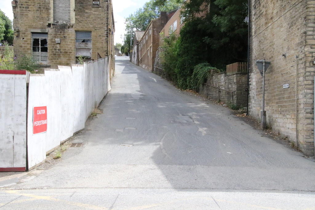
Photo 0068 was taken on 2018-07-28 at 13:21:43
According to the track by my GPS device, the photo was taken near to 0.00000,0.00000 which is T\227724
link to hi-res version of the photo
link to photo in flickr